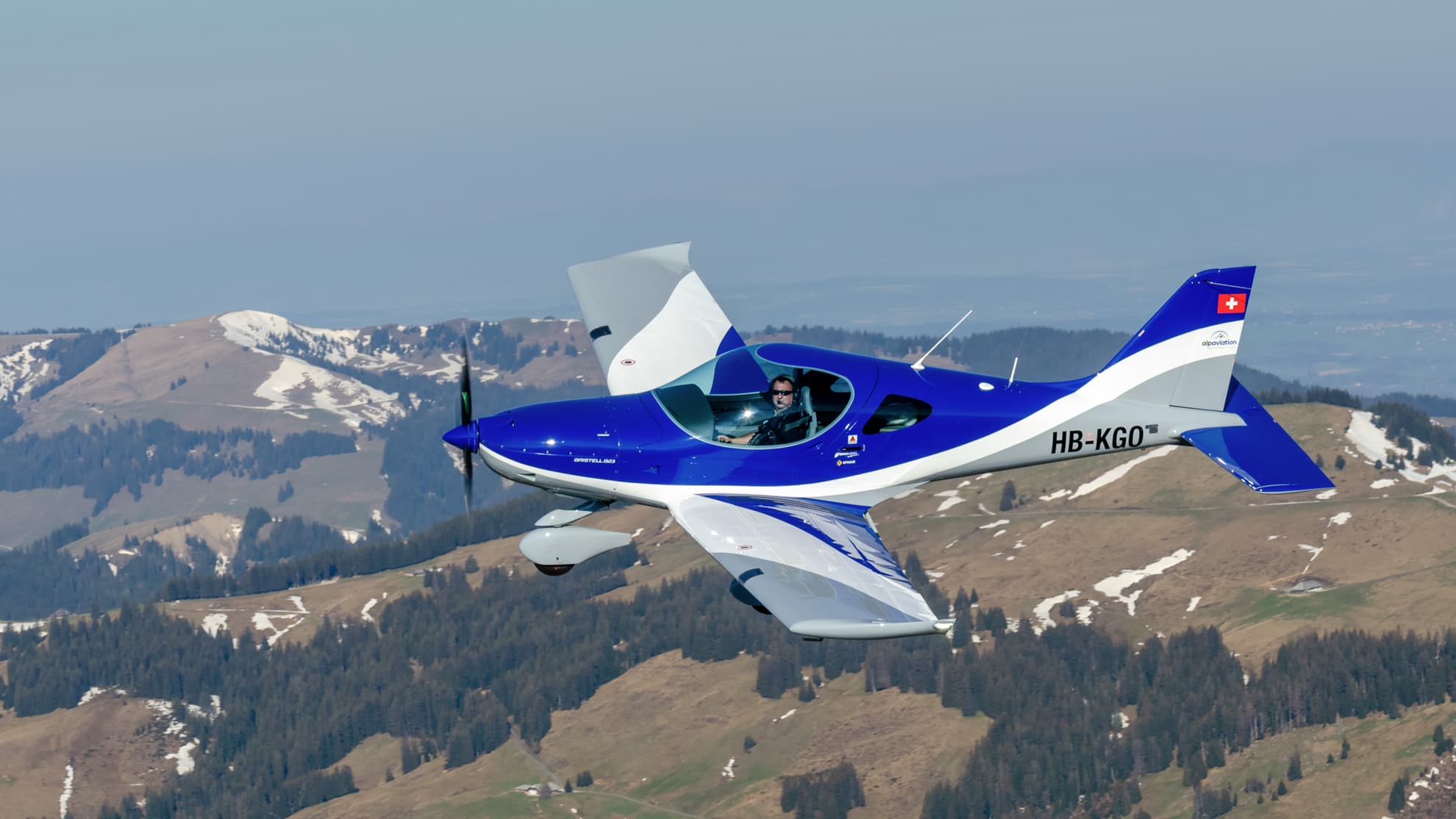
Bern-Belp Airport sits at the transition between the flat Swiss Mittelland and the high Alps. Within 15 minutes of takeoff, you move from a controlled training valley into terrain where wind patterns are complex, density altitude challenges your calculations, and awareness becomes instinctive. Pilots trained here develop a decision-making framework that cannot be taught in flatland.
Flatland to Alps in 15 Minutes
Most Alpine flight schools face a problem: they are either too high for initial training or too far from mountains for meaningful exposure. Bern-Belp at 510m solves this. Your first 20 hours happen in forgiving terrain with wide runways and minimal wind shear. By hour 40, you are crossing the Bernese Oberland. By hour 100, Alpine flying is ordinary. Pilots trained in pure flatland rarely develop the mental models needed for mountain operations. Bern-Belp offers safe progression and rapid exposure to real complexity.
Wind Patterns: Reading the Invisible
The Swiss Alps generate five distinct wind phenomena. The Fohn descends from the south with warm dry air, reducing visibility and creating dangerous wind shear. Anabatic wind develops in valleys during daylight as sun heats valley walls, creating updrafts of 200-400 feet per minute. Katabatic wind flows down valleys at night as cooled air sinks, often reaching 15-20 knots. Mountain wave turbulence forms when wind crosses ridge lines. Local terrain winds tunnel through passes unpredictably. A flatland-trained pilot sees wind as a number from a station. An Alpine-trained pilot sees wind as three-dimensional and terrain-dependent.
Density Altitude
At Samedan Airport in the Upper Engadin, you stand at 5,600 feet. Summer density altitude can exceed 8,000 feet. Your Cessna 172 becomes marginal — reduced useful load, extended takeoff run, halved climb rate. Switzerland forces this calculation into your regular decision cycle. Training at Bern-Belp with regular mountain cross-countries teaches you to plan every flight as if density altitude matters. You learn that 'the book says I can land there' is not the same as 'I should land there today.'
Weather Decision-Making in Real Terrain
The Bernese Oberland has three weather regimes running simultaneously: the Jura foothills follow Atlantic patterns, the north face of the Eiger generates orographic lift that traps clouds, and the south-facing valleys heat faster and clear earlier. A pilot crossing from Interlaken toward Sion reads cumulonimbus development, wind shift timing, and freezing-level changes across the entire valley system. A flatland pilot learns binary go/no-go decisions. An Alpine pilot learns continuous assessment — gathering information and updating decisions throughout the flight.
Valley Navigation
The Eiger (3,967m), Monch (4,107m), and Jungfrau (4,158m) dominate the landscape, but so do 20 other peaks, two major valley systems, and restricted airspace zones. You cannot fly from Interlaken to Samedan on a direct track — you follow valley contours. GPS can fail. Map reading in mountains is an active skill — understanding why the valley bends, where escape routes are, and how weather blocks certain passes. A pilot crossing from Bern toward Locarno learns that the Gotthard pass is impassable in cloud, but the Lukmanier offers an alternative.
The Progression at alpaviation
Hours 0-20: circuits at Bern-Belp in calm conditions. Hours 20-50: regional cross-countries to Grenchen, Langenthal, Buochs — introducing route planning in light terrain. Hours 50-100: Alpine valleys. Your first trip crosses into the Bernese Oberland on a calm morning with an instructor. By hour 75, you are making this journey solo. By hour 150, you regularly fly to Sion, Samedan, or Locarno alone, making professional decisions about fuel reserves and alternates.
Real Destinations
Sion at 1,474 feet in the Rhone Valley has strong anabatic winds and is runway-limited at 3,700 feet. Samedan at 5,600 feet requires strict weight and performance planning. Locarno at 680 feet in the Ticino lakes is an easy solo destination by hour 100. Each destination teaches something different. A typical Swiss cross-country is 200-300 nautical miles, crossing three terrain types, two or three airspace classes, and variable wind conditions.
Career Advantage
Alpine-trained pilots have lower accident rates in their first five years. They progress faster through type ratings. They require less mentoring during command upgrade. Because they have already experienced the mental load of flying in a complex environment. A flatland pilot's first encounter with genuine terrain challenge often comes in a 200-seat jet. An Alpine pilot has built that skill set on a training aircraft. Airlines notice the difference from your first simulator session.
The EASA Mountain Flying Endorsement
The EASA Mountain Flying Endorsement formalises knowledge that most Swiss pilots acquire through training. It requires demonstrated proficiency in high-altitude operations, density altitude calculations, wind pattern recognition, and terrain awareness. At alpaviation, pilots typically qualify by hour 100-120, having completed their training naturally in Alpine terrain. Beyond the formal endorsement, a pilot trained to operate from Samedan at 5,600 feet can operate from most European airfields without special consideration.
Train in the Mountains
From PPL(A) to ATPL(A), every flight at alpaviation builds mountain competence. Contact us to start.
Contact Us